Spatial Analytics
Discover and visualize patterns, trends, and relationships between location-based datasets.
Find revenue growth opportunities, minimize risks, and drive efficiency through location data
Location data is incredibly valuable when harnessed and it’s being created at a greater rate than ever before, but you need the right tools to make it work for you.
With the Precisely Data Integrity Suite Spatial Analytics service, discover patterns, trends, and relationships between location-based datasets and share valuable findings through maps and reports to inform better business decisions.


DISCOVERPut location data into perspective
To add context to your decisions, you can find the distance to the nearest locations, analyze surroundings, and define travel boundaries as part of your data pipelines.
Apply spatial analytics to identify nearby services, homes for sale in a desired school district, or risks affecting the property, driving efficiency and instilling confidence.
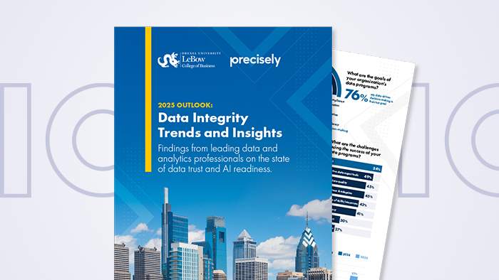
Read our eBook: Top 5 Business Challenges Solved with Location Intelligence
VISUALIZEFind new opportunities to accelerate your business
Empower users to derive meaningful insights from the spatial relationships of people, assets, and trends to alleviate the risks and accelerate decision-making.
Eliminate inefficiency and make daily business decisions like site selection, risk assessment, and territory planning error-proof.
Visualize data on maps, perform spatial analyses, and access location reports to discover revenue growth opportunities and advance confidently.
Quickly access a comprehensive view or property-associated risks.
REPORTBring critical information to those who need it most
Make location insights accessible for people without a specialized background, providing instant access to better business decisions.
Location-centric reports capture the same deep level of spatial analysis and let you share valuable insights across the organization while providing a much more user-friendly experience.
DEVELOPAccess Data Integrity Suite location and data APIs
Power your applications with beautiful maps and best-in-class spatial analytics to build better customer experiences.
Deploy and securely access spatial, raster, and routing APIs to run analytics natively in the cloud or your private environment to eliminate bottlenecks, unlock scalability, and simplify development.
Watch our webinar: Build Better App Experiences with Location and Data APIs


UNIFYIntegrated data catalog
The Data Catalog is key to your success with the Data Integrity Suite.
It synthesizes all the technical details around your organization’s data assets and arranges the information into a simple, easy-to-understand format.
Data Integrity Suite
Data Integration is just one of the services in the powerful Precisely Data Integrity Suite – an integrated, interoperable suite designed to deliver accurate, consistent, contextual data to your business – wherever and whenever it’s needed.


